
One of the best activities to do in Santiago (when there isn’t a quarantine) is to get out and go for a hike on the hills. There are better experts than I, but I try to get out once a week and here are some of my favourites. (For how to get your children to hike with you, check out some of our tips!)
I have been known to say that, “North is whichever way I’m facing,” so if you don’t mind directions that include “look for the patch of dirt that looks like a roundabout,” then these instructions are for you! However, one thing I’ve learned is, there are lots of gaps in the fence, just look out for cars parked on the side of the road and a trail. There are usually multiple trails so look for landmarks and keep your wits about you. As my friend would say, “Boots on the ground!”
In times of quarantine, please check websites for the hikes with entrance fees/staff as opening times may have changed.

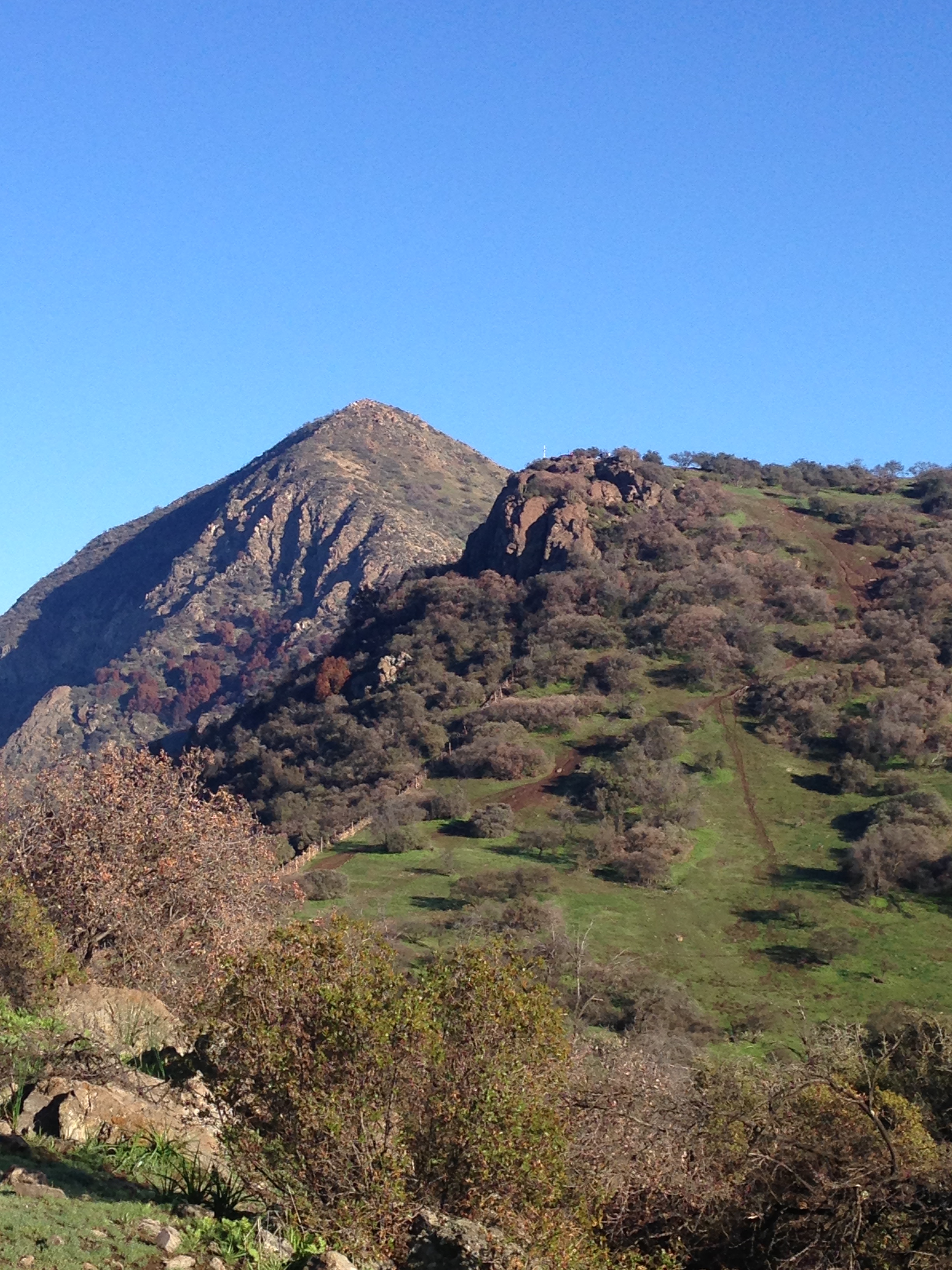

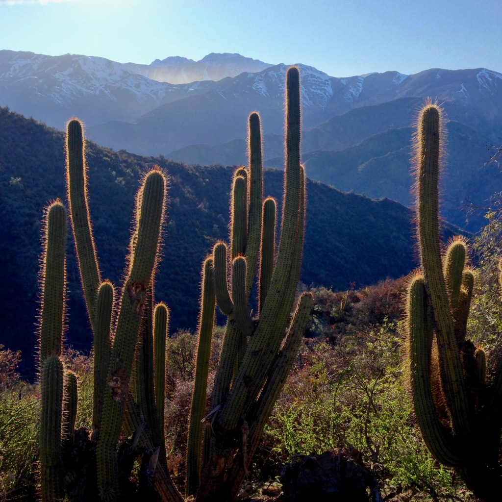
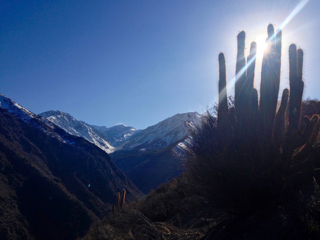
Hard to believe stone walls and nature is this close to Santiago! The path off the plateau to Manquehuito and then Manquehue beyond. Early morning wander around the base of Manquehuito.
Cerro Manquehuito
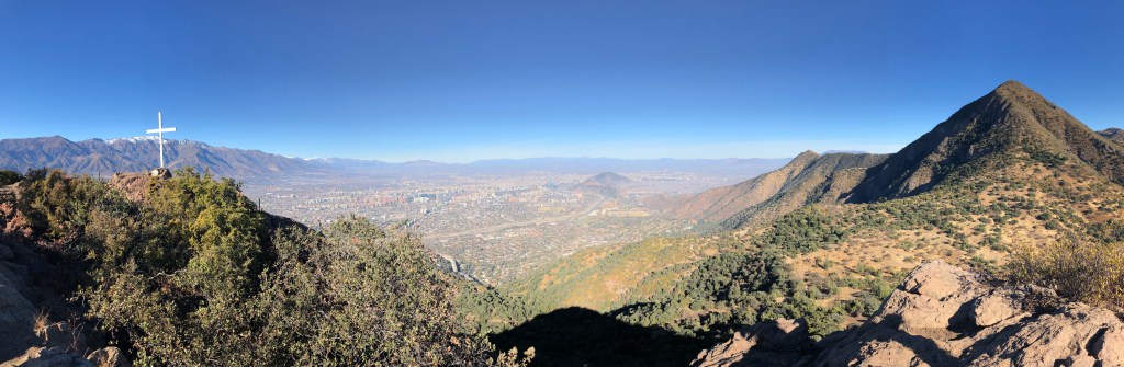
Little Manquehue is perfect for families, I have done it with my (at the time) 8-year-old. Drive to the top of Golf de Manquehue in Lo Barnechea, park at the top by the gate. Squeeze through the gate and follow the wide path, before that path curves to the right there is a smaller path to left. Take it and you will go down slightly. For younger children, keep walking up the wide path (almost as wide as a road) up the hill. This will level off on the flats and you can wander around the plateau very easily.
For older children, when you are on the initial path and going down the hill you will see a cement cistern on the right. There is a path to the right that goes along a (mostly dried) riverbed. Take that path as it winds slowly upwards to the end. It will stop at the ridge and a fence and you look out over Santiago. Walk with the fence on your right up the hill. There is a rock scramble close to the fence. If you go a bit over to your left the trail is more gradual. Take in the sweeping views at the cross. For the return we usually go a different way and with back to cross and the way you came up on your left head down the steep, dusty bit. Aim for the “roundabout”as I call it, at the bottom. The big circular patch of dirt. Then follow the trail to the left. You will see the power station and parking lot. There are usually a lot of people so it’s pretty easy. It can be steep on the way down so you might want sticks and proper shoes/boots. Straight up and down without a stop or children is about 1.5 hours. Mountain biking on side trails is allowed.

Path along the little creek. 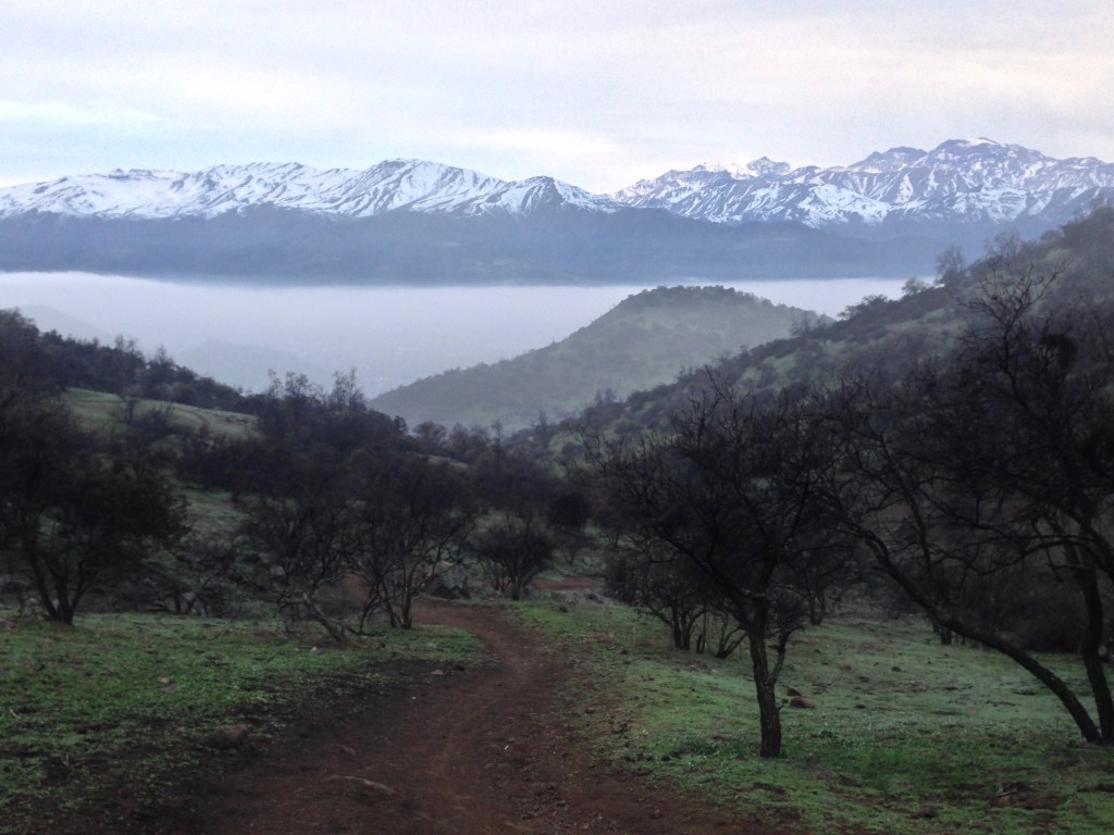
Views of the Andes heading towards Manquehuito
Cerro Manquehue
Same directions as for Manquehuito except at the beginning when you squeeze past the gate stay on the wide trail as it curves to the right. Aim for the power grid towers (or pylons as my friend calls them), once you reach that tower then aim for the tower on the ridge. Always following the path. Follow the ridge to your left and up to the top. There is a steep rock to clamber up at the end. Even though it looks like it’s straight up/straight down, there are a lot of trails and it can be easy to get lost. I have gotten lost and I’ve also seen police and search and rescue on site as well. Boots and sticks recommended. At the back side there is a mountain bike course.

Steep part of Manquehue 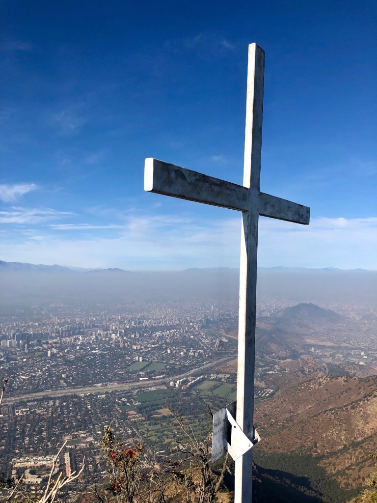
Manquehue lookout 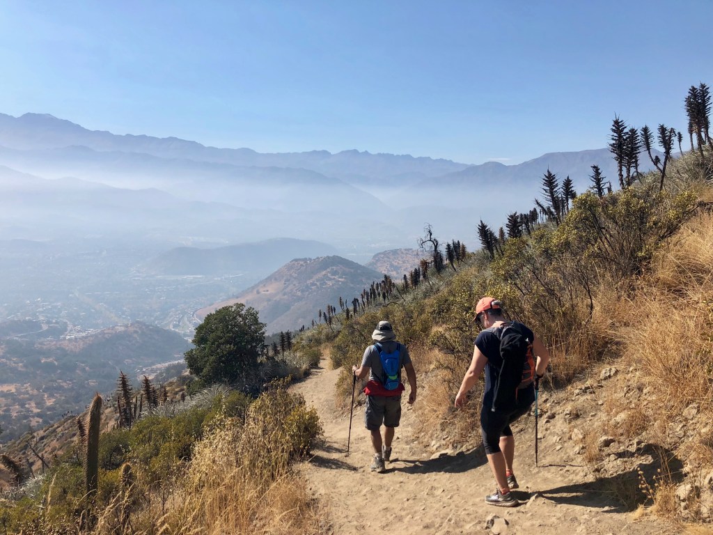
Heading down
Back way to Manquehuito
I call this the back way, but whatever your perspective, I really enjoy this more gentle way up the hill. Park on Camino de la Ascension, you will see the path up the hill on your right. Follow it up and take the fork to the right, go over a small dip and curve back to your left. You will come out up on top of a plateau by a cross, as you look out to mountains, both Manquehue and Manquehuito are behind you. You can then follow the track through a few scatterings of trees over the plateau towards the hills. You will come out at the “roundabout”of dirt. You can either go up to your left and up Manquehuito or you can turn to your right and go back down the way you came for a shorter walk. This is ideal for families. Mountain biking allowed. As little as 1.5 hours or as long as you like.

Heading up 
View of Lo Barnechea 
On the plateau heading up towards Manquehuito
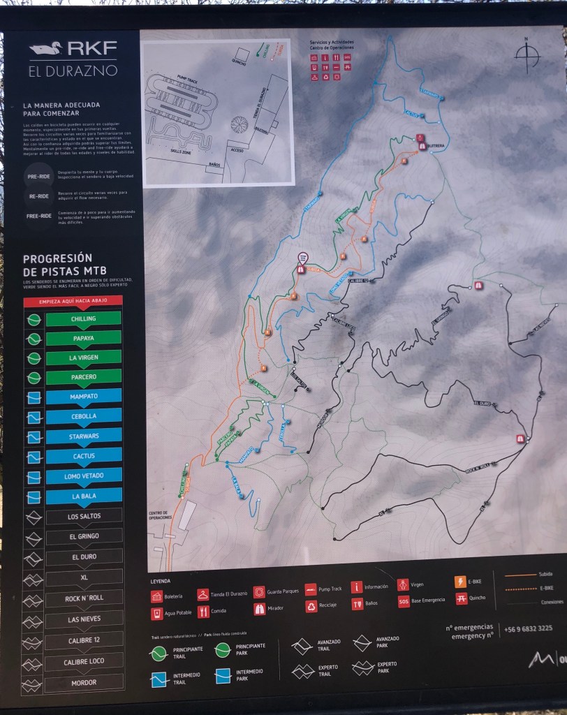
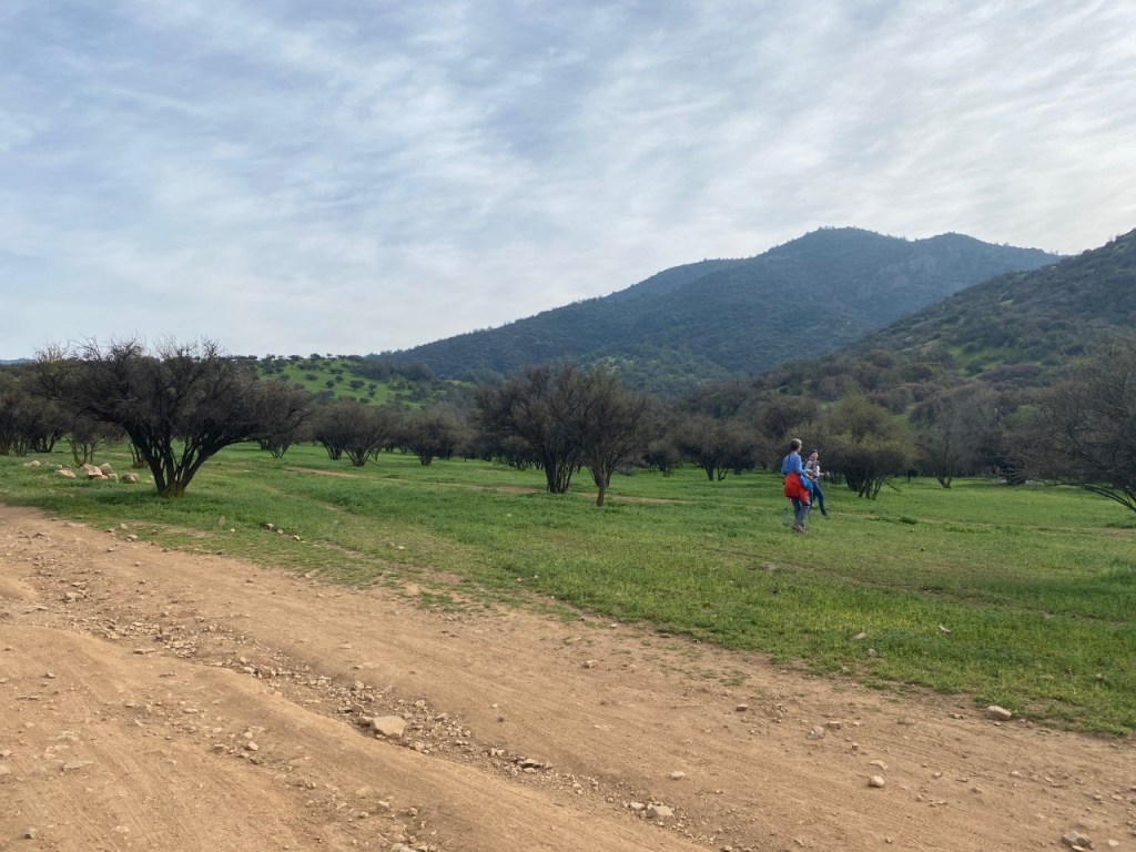
Durazno
Durazno is a mountain bike trail park operated by the city of Lo Barnechea. It has extensive, obvious trails with posted maps. We have always hiked a combination of the orange and green trails. When walking, it’s best to go mid-week and early in the morning before the bikes arrive. Nice views of the city and it’s hilly, but not steep. You have to check in and pay, there are toilets at the entrance. Park at Camino La Cumbre at Camino Quebrada Norte.

Durazno early morning

Las Lagunas
Park at Camino de los Lotos at the corner of Camino de la Laguna in Lo Barnechea. Walk up Los Lotos, it is very steep paved road and at the dead end, there is a fence you crawl through and turn left. There is a dirt track you follow up into the hills. As you come out into pasture land with a few trees you will see the city to your left. Far off and slightly to the right is an escarpment and a rock overhang, which you will eventually reach by going through the hills to the right.
After walking for about 30 min you will come to a farm on your right, keep on the main dirt road/track and go down a dip and up the hill. On your right, you will see a hairpin path. Take that path, and once on it keep to the left. You will curve up and around the back of the hill. It will be steep but then level out and you walk along the ridge. You will again hit a dirt track/road which will take you around the back of another hill with views of the Andes to your right. You will eventually reach a flat look out point on your left, this is your high point.
Hairpin turn to your right 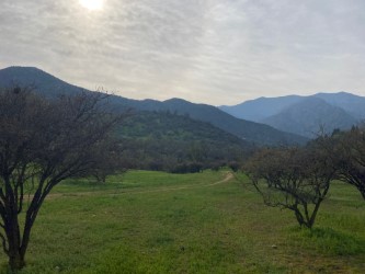
On the path to go around large hill 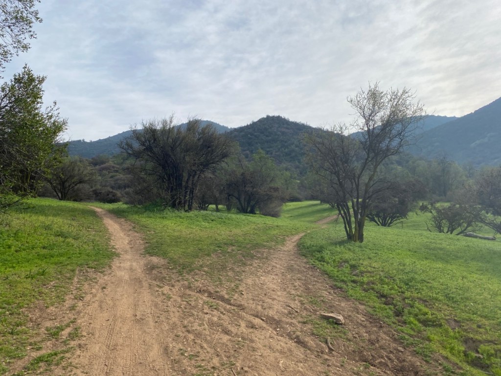
Stay to the left
At this point, you will find a small trail heading towards the city through the woods, which will take you in front of the big rock escarpment you spotted earlier. This can be slippery and bikes use it as well. Go down and slightly to the left until you reach the original dirt road near the start at the barn. These directions are vague as every time I have done this hike we have gone off piste! But we always seem to end up by the rock wall looking out to the city with the mountains behind us. Two hours or more. Nice for families. Mountain biking allowed.


Early morning sunrise over the city, views of the Andes before the high points, coming back down the dirt track with horse friends!
Aguas de Ramon
Aguas de Ramon has many hikes with levels for all abilities. When you sign in, you need cash for the entrance fee and you need to tell them which trail you want to do. They have maps and can direct you based on ability. I’ve only ever gone with hoards of children but we have always had a fun time. There is a waterfall, but we have never made it that far! Go early on a weekend as the parking lot fills up quickly. Park at Alvaro Casanova 2583 in Las Condes. Their website has a detailed map and directions. Great for families. Toilets at the entrance.

Pochoco
The entrance to Pochoco is in El Arrayan, take Camino el Alto and follow the signs for Observatorio Pochoco Achaya. There is parking just past the entrance to the observatory. You basically go up for 2 hours and come down for 1.5 hours. Gorgeous views, some scrabbling and we saw a couple of condors circling close to us. Stay on the path marked with white paint. Bring sticks and boots.

Yerba Loca
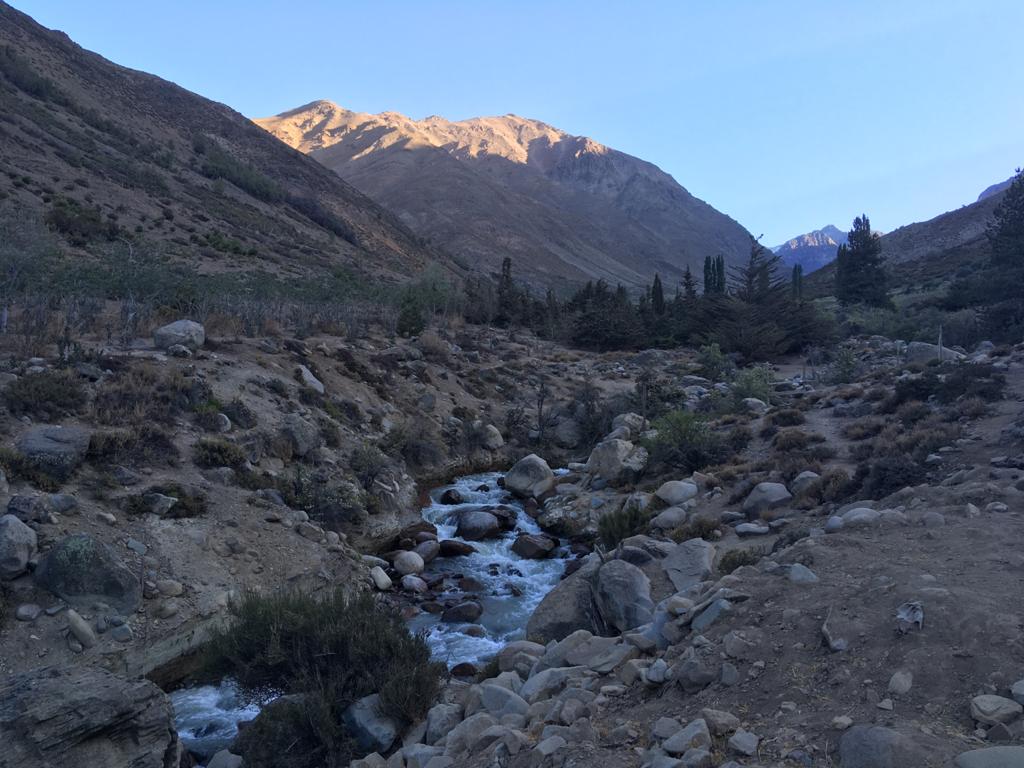
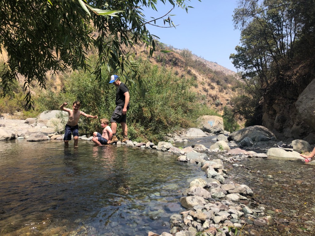
Located on the way to the ski hills, Yerba Loca is a campsite with hiking trails operated by Lo Barnechea. Multiple hikes and staff onsite can advise on the best fit. Maps provided. During Covid you must sign up and pay before noon the day before you want to hike. (We signed up in the afternoon and were turned away at 8:30 a.m. the following day!) If you go up in winter you will need a set of chains in your car for your tires should there be snow. Read about the Glacier La Paloma hike we did. Note: In winter the road is open to both directions of traffic M-F. On the weekend it is open going up the mountain only (one direction) and doesn’t open to come back down the mountain to Santiago until 2 p.m. In summer the road is open both directions all the time. In summer, I camped with another friend (we had seven children with us under 10 years!) and it was a nice, quiet campsite with bathrooms and you could have a campfire. There was a little walk we did with the children and a stream to play in.
Curva 16 — Farrellones
As we didn’t make it into Yerba Loca during Covid, we drove to the next curve up (Curva 16) and parked in the parking lot and followed the trail down into the valley and we ended up almost to curva 2! It is a mountain bike trail as well. Gorgeous views of the three valleys and the snow capped mountains. Unusual because it is a trail that is down to begin with and then all the way up on the way back. About 6 km. When we got back to the car we asked some local municipal workers about hiking trails and they recommended Curva 21 Los Pinos and another trail at Curva 32.
Cerro del Medio
This hill in Lo Barnechea is great for children and we have gone with grandparents as well. You can park at 2470 Camino Central and head up the steps, but currently there is a lot of construction on this side as they are developing the Cerro. A better bet is to park on Golf de Manquehue just past Santiago College. You will see a little park with benches and the trail starts from there. You can walk through cactus and scrub and then go along the top with views down to Lo Barnechea.

Cerro del Medio along the top
Santuario de la Naturaleza
They have a couple of trails, one that is 1.5 km return and the other is 3 km return. We did a longer one along the river, crossed the river and came back the other side. I noticed it’s not on their map, but we were a large group when we did it and the trail was clearly marked. It’s not steep so it is good for families. There is a picnic area with quinchos for a BBQ and play structure at the parking lot. Adults $5,000 and children under 12 $4,000, Camino el Cajón 21000 El Arrayan


Quebrada de Macul
This is ideal with young families, you follow the gradual dirt track up to a waterfall, and when you come back you can cool off in the shallow pools. Go early on the weekend as it’s a favourite and when coming back down at 2 p.m. there were large groups heading up with coolers, guitars, music, pushing wheelchairs — I’m not sure where they were all going to fit, but it looked like a lot of fun! Entrance is Avenida Diagonal Las Torres, parking available.
Cerro San Cristóbal
Cerro San Cristóbal is a great one for families or visitors. We like to park in the main parking lot, take the gondola up to the last stop, walk along the top or have a picnic and then walk down the hill via the playground. Another option at the top is to take the funicular down the opposite side, walk around Bella Vista and check out the graffiti and have lunch in a sidewalk cafe (after 1 p.m. though, nothing will be open at noon Canadian-lunch time!) Then take the funicular back up and go over the hill to get back to your car. There are small cafes at the top of the hill as well. Water fountains to refill water bottles, lots of cyclists and there is a pool at the top too! Ideal for families.

Cerro Santa Lucía
This is my favourite city walk with visitors. Check in at the hill by the Santa Lucía metro station, walk around the manicured gardens surrounding pools and fountains, walk up the winding stone staircase to the top of the castle and look out over the city. Make you way down to the bottom and have lunch at Castillo Forestal, Boca Nariz or stop in for a quick bite at Gabilondo bakery. Pre-walk breakfast options include Wonderland Cafe. If you like this hill, I suggest reading Ines of My Soul by Isabel Allende about the founding of Santiago as this hill features prominently in the book as it was where the beginning of the city started. The hill is located at Alameda del Libertador Bernardo O’Higgins in the south, Santa Lucía Street in the west and Victoria Subercaseaux on the east.


Santa Lucía and views of the city.

Amazing how many of these hikes you have done! I enjoyed reading it. I’d enjoy doing it with you more! It’s a great guide or other wannabe hikers. So glad you can get our for these hikes.
Alas, great troubles with my knee still. On list for joint assessment. My knee is locking so am afraid to bike right now. Fortunatley I can swim and ride the stationary bike at the gym.(boring)
>
LikeLike
It’s so frustrating when we can’t do the things we like! I hope your knees get better soon.
LikeLike
What wonderful photos!
LikeLike
What amazing and inspiring photos! Thank you for putting together this list of some of the great walks around Santiago. Ever since I arrived, the hills have been calling me, but it is so hard to find the way up! It can be really hard to find any information about trekking here, so this information is invaluable. Thanks for showing me some of these trails.
LikeLike
So great to get out together!
LikeLike